
Commercial Property Data For UK Developers: What You Need To Know
Discover some of the key benefits of leveraging commercial property data and what to consider when choosing a tool to help you use commercial property data to your advantage.

Biodiversity Net Gain For Developers: What You Need To Know
Discover our guide on how biodiversity net gain for developers works, including tools to simplify BNG.

When and where to go -- how to find development land in 2025.
The impact of the December NPPF is massive. With new housing numbers coming into affect in March, you need to be making the most out of it.

Class Q Opportunities Explained
Discover all you should know about Class Q opportunities, including the most recent changes, in this guide.

What Does Grey Belt Land Mean?
It has a huge impact on housing, but what does grey belt land mean? Discover more about grey belt land and it’s role in UK development.

Milton Keynes: Landstack data in use!
Milton Keynes have recently released their preferred options for the MK City Plan 2050 as well as a new Strategic Housing Land Availability Assessment (SHLAA)
See how this is visualised using Landstacks extensive datasets.

A new NPPF — Is this the biggest strategic land opportunity in our lifetime?
The NPPF consultation document has been published and the consequences of the suggested changes are vast. The new standard method calculations, if carried on, will almost certainly require large rewrites of any local plan that isn’t currently already at, or very close to, Examination.

Streamline Your Land Development Workflow with Landstack's "My Sites"
In the ever-changing environment of development land and real estate it can be hard to keep track of what’s happening with your sites. The newly improved ‘My Sites’ on Landstack helps our users organise their sites and easily manage workflows.

Landstack's Land Availability Assessment: A Field of Potential
Landstack presents numerous opportunities with its Land Availability Assessment (LAA) feature. Delving into the intricate details of land availability, Landstack visualises LAA sites in YELLOW on the map, providing valuable insights into the Council's view of each site.

Rightmove Data: What’s new and how to make the most of it.
We’ve signed a new data agreement with Rightmove! I am sure that Rightmove need no introduction, if you’ve bought or rented a house — you’ve probably checked Rightmove, however, the data they provide is often less well known.

Navigating Allocations on Landstack: Unveiling the Purple, Pink, and Green
Landstack brings a unique and comprehensive approach to visualising allocations, differentiating between draft and adopted allocations. Understanding the distinctions between these two categories is crucial in the intricate process of strategic land identification.
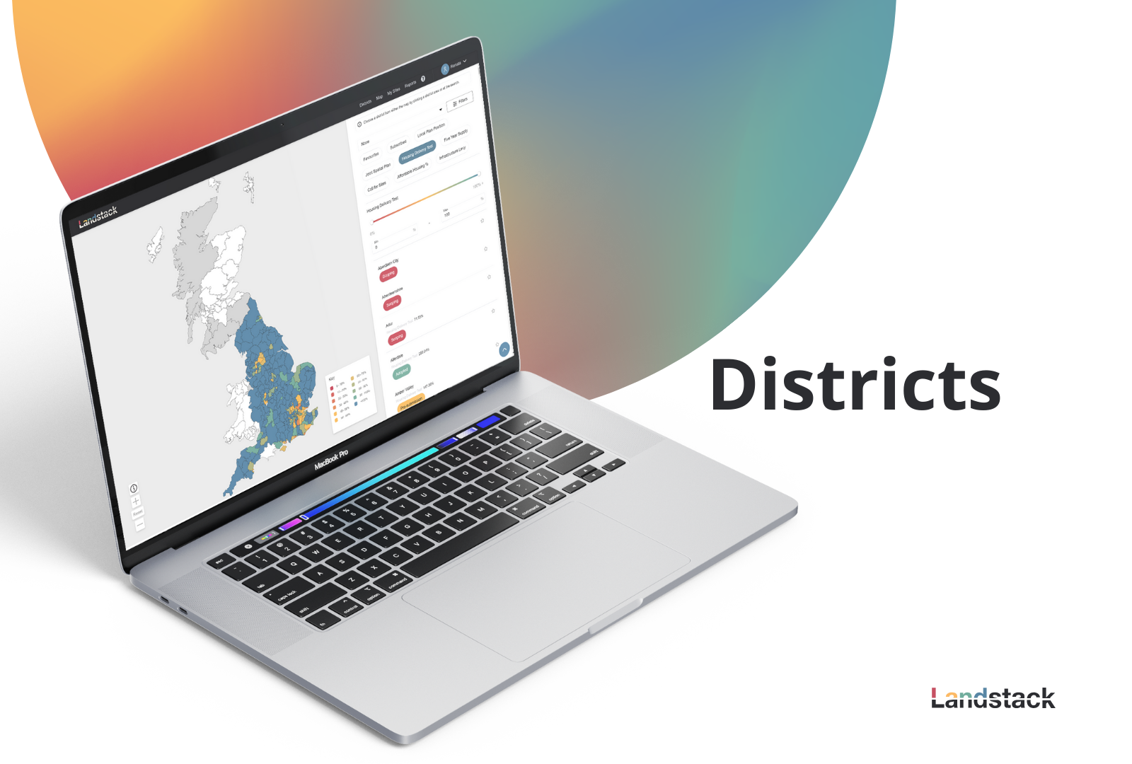
Navigating Districts with Landstack: Your Gateway to Dynamic Planning Data
Landstack's Districts page emerges as a powerful tool, offering users an insightful visualisation of crucial factors such as local plan position, joint spatial plan position, housing delivery test results, and the five-year supply figure for every district across England, Scotland, and Wales.